PARALLEL SIGHT / THE PHYSICAL WORLD, MADE QUERYABLE.

The perception layer
for public infrastructure.

From cameras to an understanding of a place.
What’s there, how it moves, and what changes.

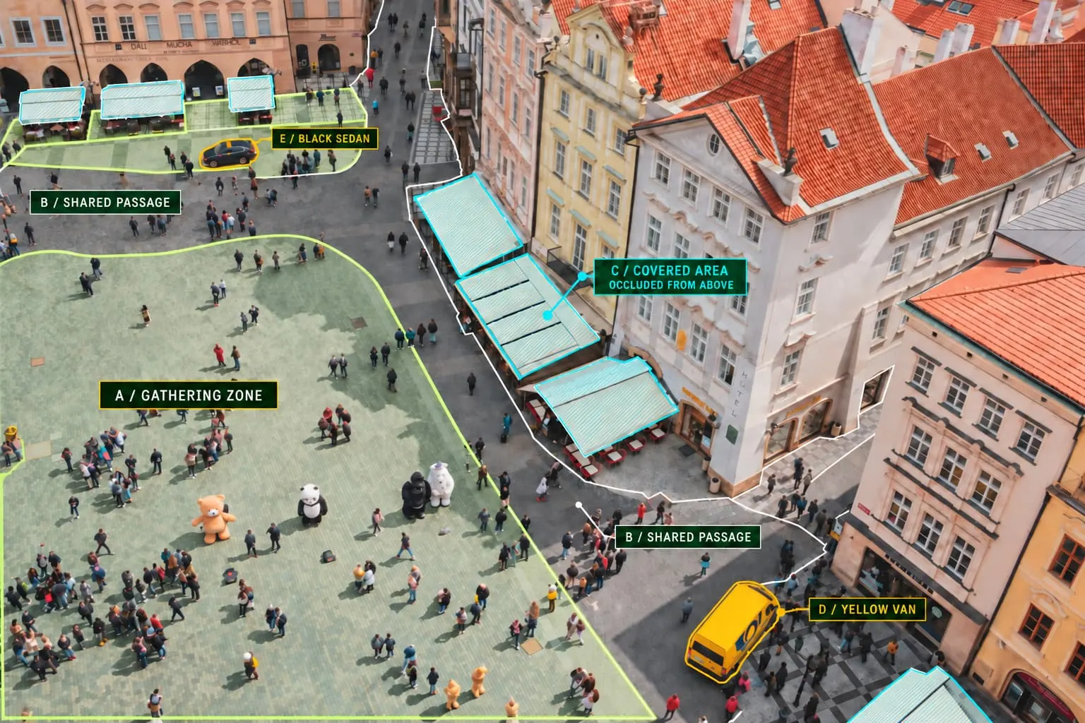
Aerial public square with annotated gathering areas, shared passages, covered areas, a yellow van, and a black sedan.
PHYSICAL WORLDPUBLIC SQUARE
A PLACE. ITS CONTEXT. WHAT HAPPENS WITHIN IT.

STRUCTURED UNDERSTANDING

More than
what’s in view.

PLACE TYPEPublic squareGathering spaces, shared routes, and covered areas
SPATIAL RELATIONSHIPSSquare → passage → covered areaHow spaces connect and what remains out of view
AFFORDANCESGather. Walk. Take shelter.What different parts of the square allow
QUESTIONS IT CAN SUPPORTWhere do people gather or pass through?Activity interpreted within its spatial context

ONE UNDERLYING MODEL

Built for people.
Structured for agents.

Connect each observation to a model of the place: what a space is, how it connects, and what people can do there. That context can support both human decisions and agent queries.

REPORTS & VISUALIZATIONS

Answers you can inspect.

PUBLIC SQUARE / ZONE AOBS. 07

A pause in the square.

One tracked visit to the gathering zone.

3 minDwell interval
09:41–09:44
Entered zoneExited zone
EvidenceEntry frame · Exit frame · Zone definition

A defined measurement, its time interval, and the evidence needed to review it.

SOFTWARE & AGENT INTERFACES

A place model an agent can use.

PLACE MODEL / PUBLIC SQUARE

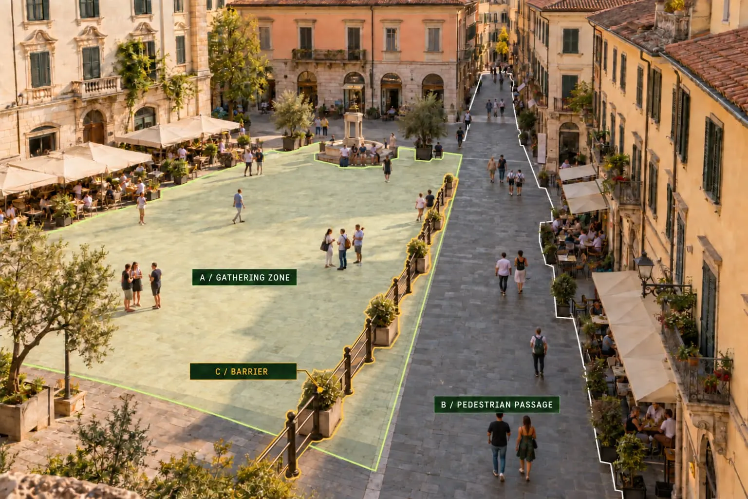
Public square contains these connected spaces

Zone AGathering areaGather · wait
connects to
Shared passageWalking routeWalk · pass through
AN AGENT COULD ASK

Which visits lasted over 2 minutes in gathering areas?

EXAMPLE MATCHObservation 07 · Zone A · 3 min09:41–09:44 · Linked to entry and exit evidence

Designed to let software ask about gathering areas across sites, with each answer linked to the place, time, and evidence behind it.

FROM VIDEO TO UNDERSTANDING

Every frame holds a story.
Understanding is the point.

A detection tells you an object is there. Understanding a place means connecting what is visible with what the place is, how its parts relate, and what people can do there.

  1. Observe
    FRAME 09:41

    A scene in time.

    Authorized footage provides a view of the place and the activity within it.

  2. Perceive
    TRACK 07ZONE A

    Movement in context.

    Tracks meet a site model: zones, relationships, and the activities they support.

  3. Measure
    ZONE A / DWELL INTERVAL09:4109:443 MINENTER → REMAIN → EXIT

    A defined observation.

    Entry and exit times become a dwell interval under a clear measurement rule.

  4. Remember
    OBSERVATION / 0709:41 / ENTRY FRAME09:44 / EXIT FRAMEZONE A / DEFINITION

    Evidence you can revisit.

    Keep the observation, its definition, and the source frames together.

ONE PLACE → CONNECTED OBSERVATIONS → REVIEWABLE UNDERSTANDINGIllustrative sequence · platform direction

OBSERVE CHANGE OVER TIME

A place has a history.
Its observations should, too.

The platform is being designed to retain timestamped observations and site context, so questions can extend beyond a single frame.

LIBRARY / READING ROOMIllustrative observations
NOW

What is happening
at this site?

4 seats available

8 of 12 seats occupied · 12:00

THIS MORNING

When was this
room busiest?

FULL12009:0010:0011:0012:00

Full for 30 minutes

All 12 seats occupied · 10:00–10:30

Occupied seats throughout the morning

OVER TIME

Is this a
recurring pattern?

1208Mon12Tue9Wed12Thu12Fri

Full on 3 of 5 mornings

Peak occupied seats · last five weekdays

Same 09:00–12:00 window each day

IN PRACTICE / TRANSPORTATION

Real places.
Practical questions.

Start with the footage you already have. Turn transportation video into defined measurements and reviewable evidence.

Explore Traffic
  • Intersection movement patterns
  • Traffic & highway volumes
  • Pedestrian–vehicle interactions
  • Queue buildup & clearance
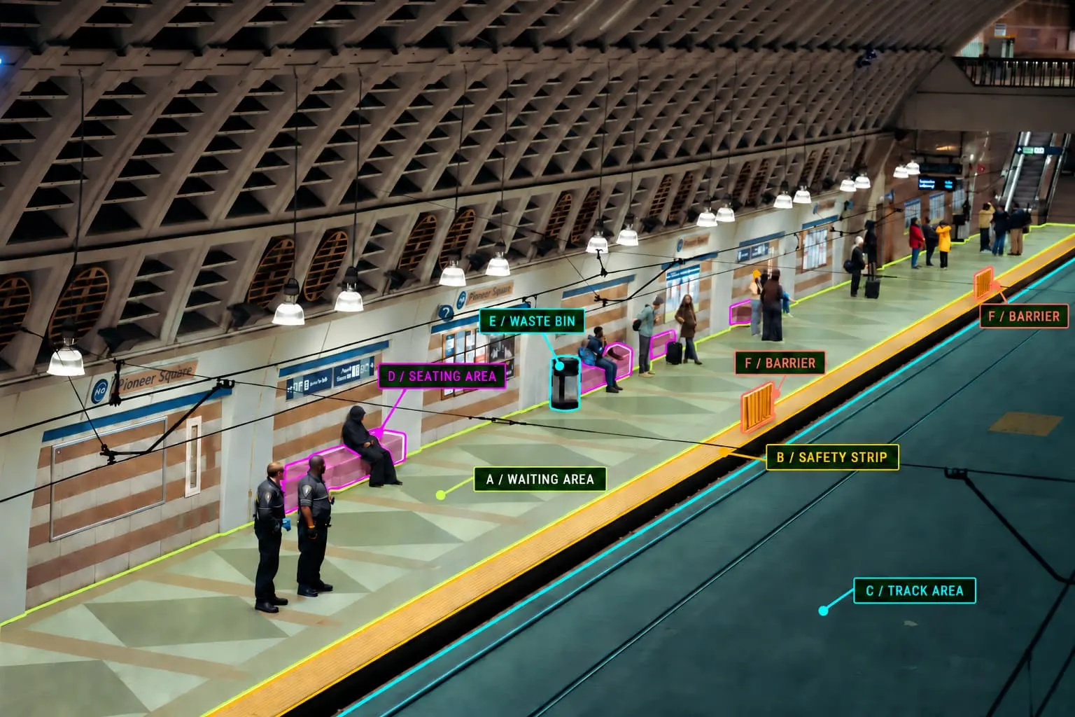
  • Station platform occupancy
  • Curb & loading activity